
iconResearch Shock
Artificial IntelligenceEnvironmentLife SciencesSpaceNeuroscienceEngineeringSocietyTechnologyMedicineBusiness + Innovation

Company

  • Who we are
  • Our team
  • Contact us

Community

  • Community standards
  • Author guidelines

University Partners

  • For Universities
  • For Departments
  • For Research Labs

Legal

  • Privacy policy
  • Terms of service

Follow Us

Copyright © 2025, Research Shock, Inc.

Breakthrough Algorithm Slashes Computing Costs for Tracking Underground Carbon

Breakthrough Algorithm Slashes Computing Costs for Tracking Underground Carbon

Research Shock•Loading...
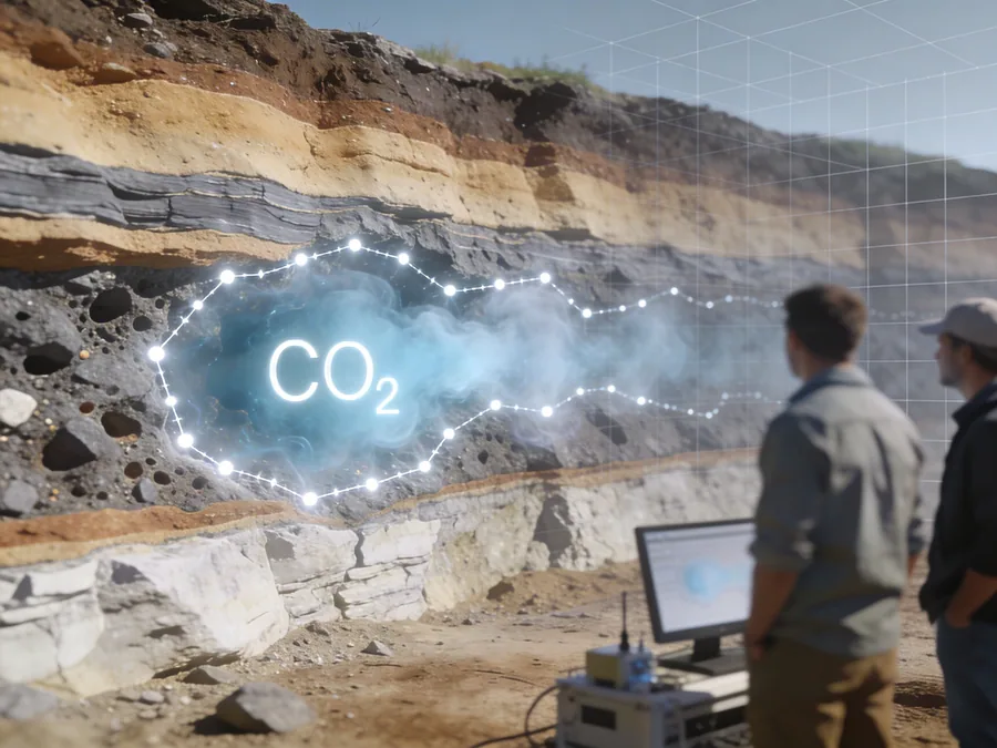
Mapping underground CO2 more efficiently with smart control-node modeling. Credit: Perplexity

Research Summary

Researchers from Memorial University of Newfoundland have developed a new mathematical strategy to efficiently map underground carbon dioxide (CO2) plumes. The method bypasses traditional, computationally expensive grid-based models by using connect the dot style "control nodes" to outline the CO2 boundaries. Tested on a model of Canada's Aqui store carbon capture project, this approach drastically cuts computing time, making large-scale gas tracking economically feasible for the carbon storage and oil industries.

Breakthrough Algorithm Slashes Computing Costs for Tracking Underground Carbon

Research Shock

Published on April 3, 2026 at 7:55 pm

Summary

Researchers from Memorial University of Newfoundland have developed a new mathematical strategy to efficiently map underground carbon dioxide (CO2) plumes. The method bypasses traditional, computationally expensive grid-based models by using connect the dot style "control nodes" to outline the CO2 boundaries. Tested on a model of Canada's Aqui store carbon capture project, this approach drastically cuts computing time, making large-scale gas tracking economically feasible for the carbon storage and oil industries.

As industrial carbon capture and storage (CCS) projects scale up globally, energy companies face a hidden, expensive challenge: keeping track of the gas once it is injected deep underground.

Currently, operators use seismic monitoring—essentially bouncing sound waves into the earth—to create 3D maps of the subsurface, a process known as Full Waveform Inversion (FWI). However, because seismic data is naturally noisy and open to interpretation, scientists must calculate the "uncertainty" of their models. This means exploring thousands of possible shapes the CO2 plume might take to find the most scientifically sound representation.

Traditionally, this is done by dividing the underground map into thousands of tiny, individual 3D blocks (or "cells"), taking massive amounts of computing power to analyze. In fact, adequately exploring all possibilities using advanced statistical methods (like Markov chain Monte Carlo, or McMC) has historically been deemed computationally infeasible for large projects.

Now, researchers Abolfazl Khan Mohammadi, Alison Malcolm, and Colin Farquharson from the Memorial University of Newfoundland have proposed a software solution that drastically cuts these computational costs. Their study introduces a "rock-physics-guided parameter-reduction strategy".

Instead of calculating the properties of thousands of individual grid blocks, the researchers treat the CO2 plume as a single, uniform shape. Because the physical properties of injected CO2 (like how fast sound travels through it) do not change much once the rock is 20 percent saturated, the algorithm only needs to figure out the plume's outer boundaries. It does this using a small set of "control nodes" connected by smooth curves—conceptually similar to a connect-the-dots drawing or the anchor points used by digital graphic designers.

"This parsimonious parameterization not only significantly reduces the number of model parameters... but also has the potential to improve the practicality and efficiency" of uncertainty tracking, the researchers note in the study.

To prove the system's industrial viability, the team ran a synthetic simulation based on the Aquistore CO2 storage project in Saskatchewan, Canada, which has successfully stored over 600,000 tonnes of CO2 from a coal-fired power plant. The new node-based model was able to successfully reconstruct the CO2 plume's shape and quantify its uncertainties.

Economically, the results are highly promising for the industry: the complex calculations for this field-scale model were completed in under 80 hours using a relatively modest computer setup of 12 standard processors (CPUs) and 12 graphics cards (GPUs).

By radically reducing the computing power needed to monitor underground gases, this innovation removes a major bottleneck for the carbon sequestration industry. The researchers point out that this method is highly applicable to both deep saline aquifer CO2 storage and Enhanced Oil Recovery (EOR) operations, where CO2 is injected to sweep remaining oil from aging reservoirs. Ultimately, this software-side breakthrough could make large-scale subsurface monitoring more reliable and far more cost-effective for commercial operators.

Category

Technology

Tags

Carbon Capture and Storage (CCS), Geophysics, Seismic Imaging, Full Waveform Inversion, Enhanced Oil Recovery (EOR), Emission Tech, Computational Efficiency

Disclosure Statement

The research covered in this article was financially supported by TotalEnergies E&P USA LLC and a grant from the Natural Sciences and Engineering Research Council of Canada (NSERC). Additional computational support for the study was provided by ACENET and the Digital Research Alliance of Canada.

Research Paper

https://memorial.scholaris.ca/items/d5bf8a99-c029-4b92-ad61-bdb62bfc3b6e

As industrial carbon capture and storage (CCS) projects scale up globally, energy companies face a hidden, expensive challenge: keeping track of the gas once it is injected deep underground.

Currently, operators use seismic monitoring—essentially bouncing sound waves into the earth—to create 3D maps of the subsurface, a process known as Full Waveform Inversion (FWI). However, because seismic data is naturally noisy and open to interpretation, scientists must calculate the "uncertainty" of their models. This means exploring thousands of possible shapes the CO2 plume might take to find the most scientifically sound representation.

Traditionally, this is done by dividing the underground map into thousands of tiny, individual 3D blocks (or "cells"), taking massive amounts of computing power to analyze. In fact, adequately exploring all possibilities using advanced statistical methods (like Markov chain Monte Carlo, or McMC) has historically been deemed computationally infeasible for large projects.

Now, researchers Abolfazl Khan Mohammadi, Alison Malcolm, and Colin Farquharson from the Memorial University of Newfoundland have proposed a software solution that drastically cuts these computational costs. Their study introduces a "rock-physics-guided parameter-reduction strategy".

Instead of calculating the properties of thousands of individual grid blocks, the researchers treat the CO2 plume as a single, uniform shape. Because the physical properties of injected CO2 (like how fast sound travels through it) do not change much once the rock is 20 percent saturated, the algorithm only needs to figure out the plume's outer boundaries. It does this using a small set of "control nodes" connected by smooth curves—conceptually similar to a connect-the-dots drawing or the anchor points used by digital graphic designers.

"This parsimonious parameterization not only significantly reduces the number of model parameters... but also has the potential to improve the practicality and efficiency" of uncertainty tracking, the researchers note in the study.

To prove the system's industrial viability, the team ran a synthetic simulation based on the Aquistore CO2 storage project in Saskatchewan, Canada, which has successfully stored over 600,000 tonnes of CO2 from a coal-fired power plant. The new node-based model was able to successfully reconstruct the CO2 plume's shape and quantify its uncertainties.

Economically, the results are highly promising for the industry: the complex calculations for this field-scale model were completed in under 80 hours using a relatively modest computer setup of 12 standard processors (CPUs) and 12 graphics cards (GPUs).

By radically reducing the computing power needed to monitor underground gases, this innovation removes a major bottleneck for the carbon sequestration industry. The researchers point out that this method is highly applicable to both deep saline aquifer CO2 storage and Enhanced Oil Recovery (EOR) operations, where CO2 is injected to sweep remaining oil from aging reservoirs. Ultimately, this software-side breakthrough could make large-scale subsurface monitoring more reliable and far more cost-effective for commercial operators.

Institution

Research Shock

Category

Technology

Tags

Carbon Capture and Storage (CCS)GeophysicsSeismic ImagingFull Waveform InversionEnhanced Oil Recovery (EOR)Emission TechComputational Efficiency

Disclosure statement

The research covered in this article was financially supported by TotalEnergies E&P USA LLC and a grant from the Natural Sciences and Engineering Research Council of Canada (NSERC). Additional computational support for the study was provided by ACENET and the Digital Research Alliance of Canada.

Research Paper

Read the full research paper

Comments (...)

Loading comments...

Institution

Research Shock

Category

Technology

Tags

Carbon Capture and Storage (CCS)GeophysicsSeismic ImagingFull Waveform InversionEnhanced Oil Recovery (EOR)Emission TechComputational Efficiency

Disclosure statement

The research covered in this article was financially supported by TotalEnergies E&P USA LLC and a grant from the Natural Sciences and Engineering Research Council of Canada (NSERC). Additional computational support for the study was provided by ACENET and the Digital Research Alliance of Canada.

Research Paper

Read the full research paper